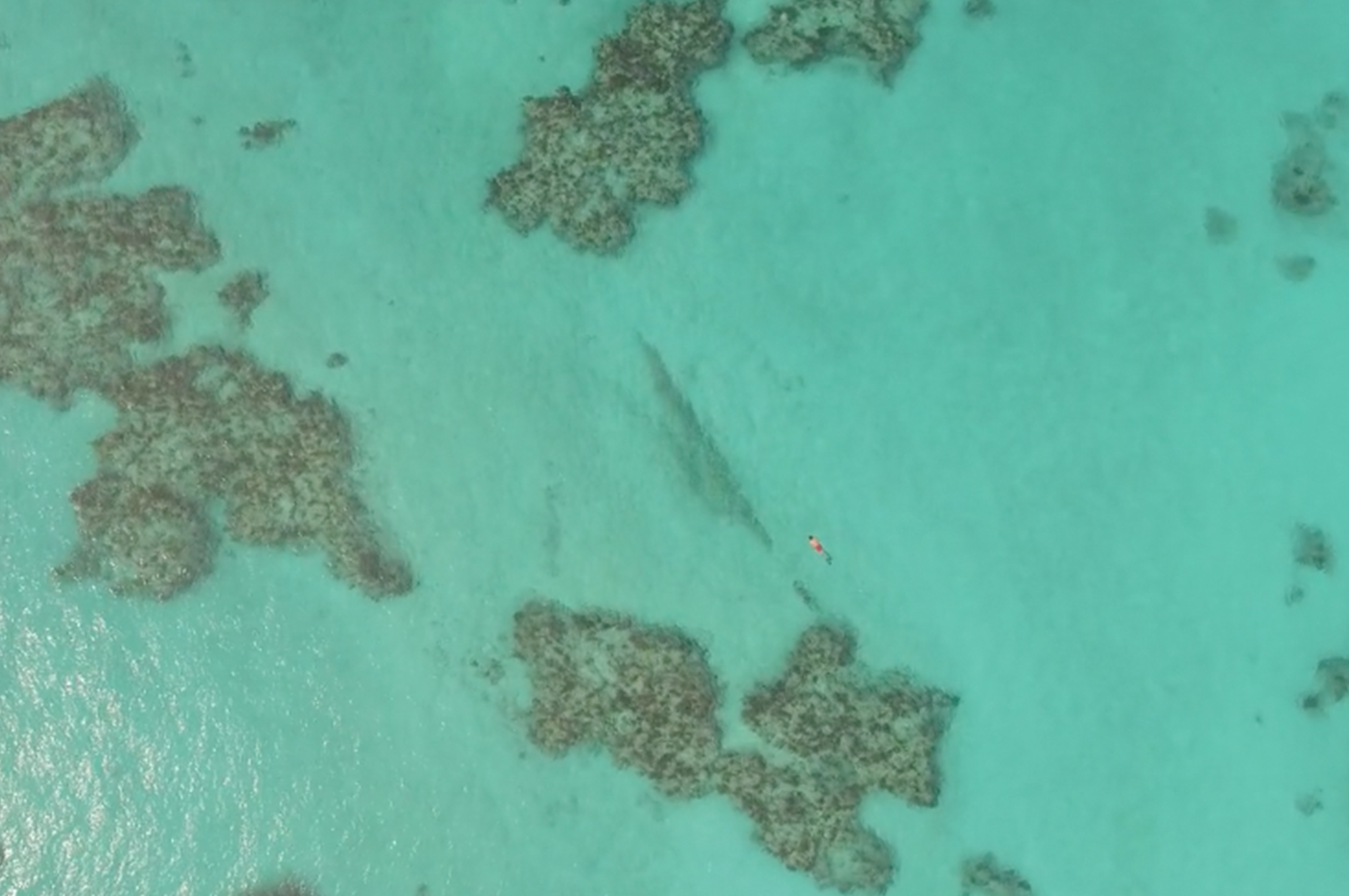
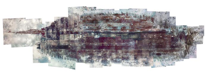
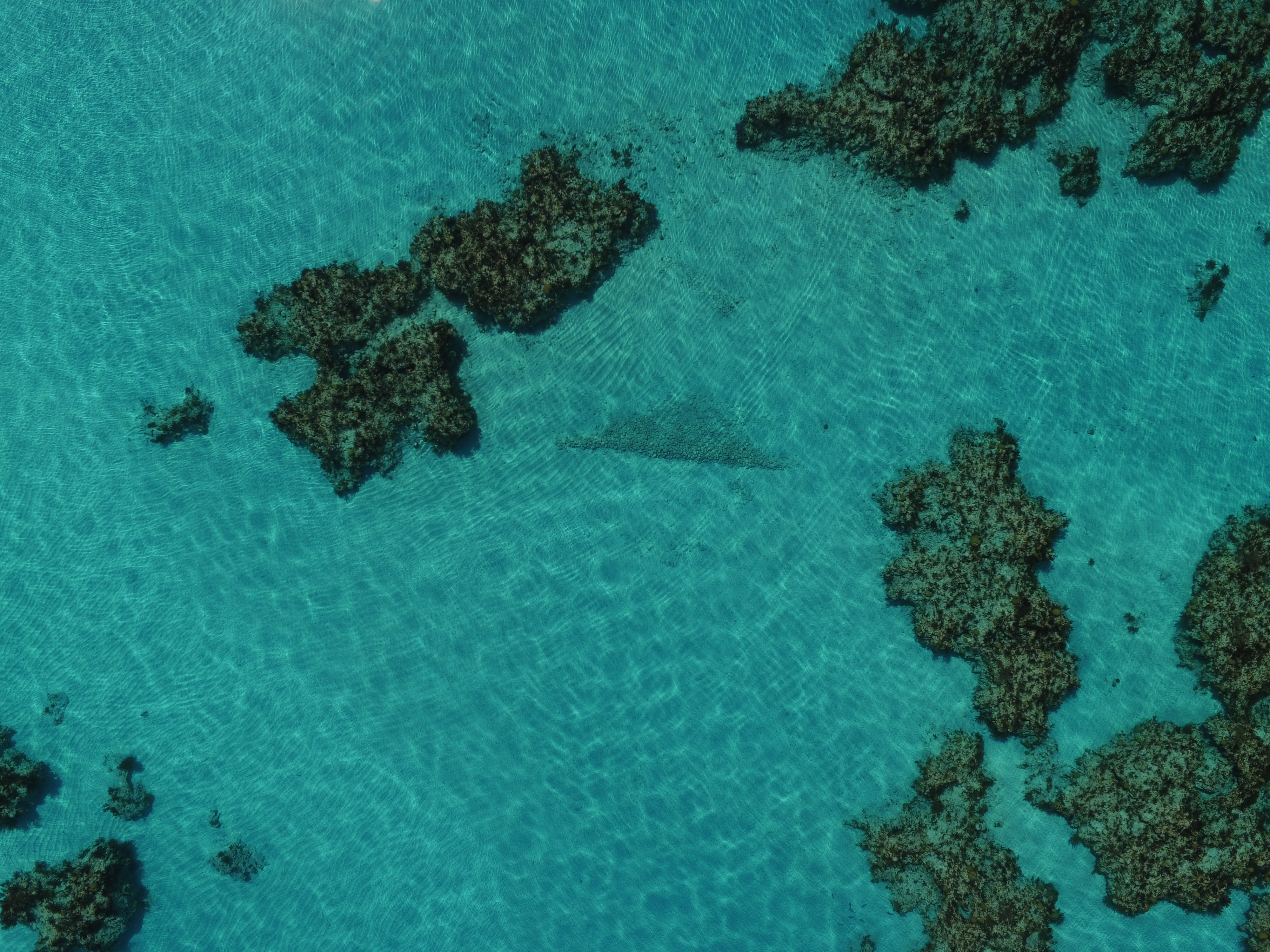
This wooden barque built in the 17th Century remains unidentified, but the site is known as the Stonewall wreck because, when discovered, the ballast stretched across the sand in a tight, high and elongated pile (like a stone wall in a field). The site was first registered by Harry Cox in the 1950s. It is lying in a sand hole and located to the west of the island just off a false cut immediately to the east of Western Blue Cut. All that remains of the vessel are the ballast as well as lower wooden timbers stretching across a sand hole between two areas of patch reef.
Teddy Tucker thought the vessel might have been very narrow, perhaps double-ended and heavily salvaged, even burnt at the time of her sinking, which may have led to the ship losing her upper structure and timbers, pinning her to the bottom by the ballast without too much rocking. Teddy speculated that the ship may be a match for a Spanish vessel wrecked in 1648, but there has been no conclusive evidence confirming that theory.
The wreck was partially excavated in 1975 by Edwin Dethlefsen and a preliminary examination of the site was conducted during the Systematic Shipwreck Survey of 1992, and reexamined again in the 1990s by a team from East Carolina University and the Bermuda Maritime Museum with no conclusive discovery of her origins.
CURRENT CONDITION
The ship is in the shallows and well inside the reef platform. It is assumed that the vessel sailed over the outside shallow reef, pushed forward by high winds and seas. There is evidence of the ship having been burnt, and the submerged timbers eaten away by toredo worms and abrasions, leaving only the visible ballast. The lack of rocking at the time of the ship’s sinking may account for the consolidated ballast.
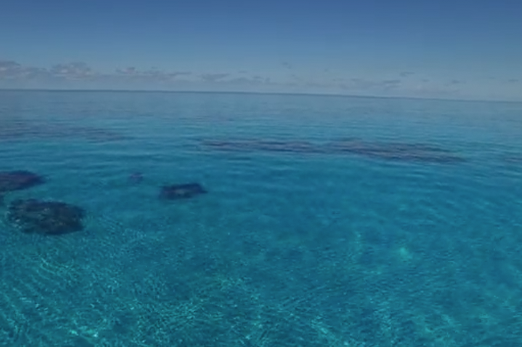
The Stonewall wreck was declared an open site and makes for a perfect shallow-water wreck for a snorkeling expedition or a first dive. The visibility is often more than 100 feet and photographers enjoy playing with the light and rippling shadows on the sand and reef. The Stonewall is typical of what older shipwrecks often look like, and in-situ explanation on diving or snorkeling tours can be a great educational tool. The environment has been called enchanting by visitors, in part thanks to frequent visits by troops of parrotfish.
STATISTICS
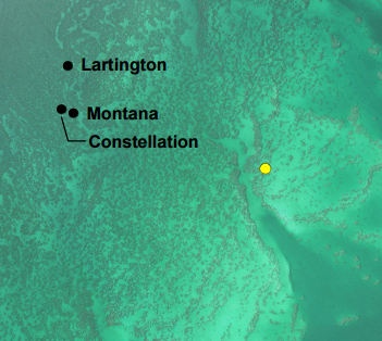
Location: 32°21'32.50"N, 64°54'10.80"W Maximum Depth: 16.3 feet (5 meters)