Not all the wrecks surrounding Bermuda are ocean-going vessels. The Airplane wreck site was long considered to be a U.S. B-29 bomber that took off from Bermuda and went down in April 1961 due to a fuel problem (a date coinciding with the Cuban Missile Crisis). More recently, it was confirmed that the plane was a heavily-modified Boeing B-50 bomber known as a Hayes KB-501 aerial tanker. Flying en route from the Azores on a refueling mission out of Kindley Field, the plane was headed home to England Air Force Base in Alexandria, Louisiana on October 20, 1963. After takeoff, as the plane was climbing, the left auxiliary jet engine exploded and ignited half of the left wing. Six of the seven crew members bailed out before the plane exploded at approximately 1,000 feet and dropped into the ocean in two big pieces just west of Bermuda. The aircraft’s commander, John (Curley) Moore, was still in his seat when divers finally reached the wreck, which is very near to the 1818 wreck of the Caeser and the 1880 wreck of the North Carolina.
CURRENT CONDITION
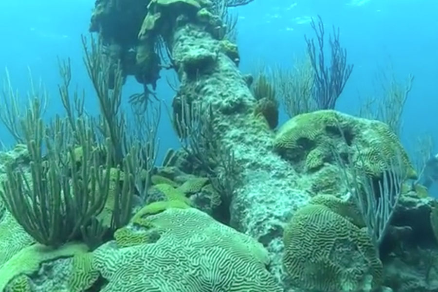
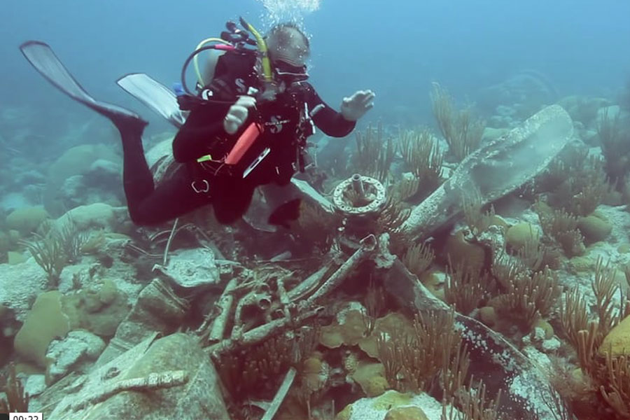
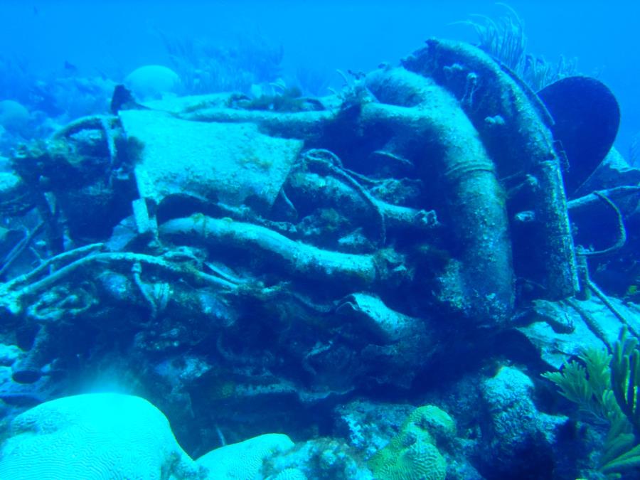
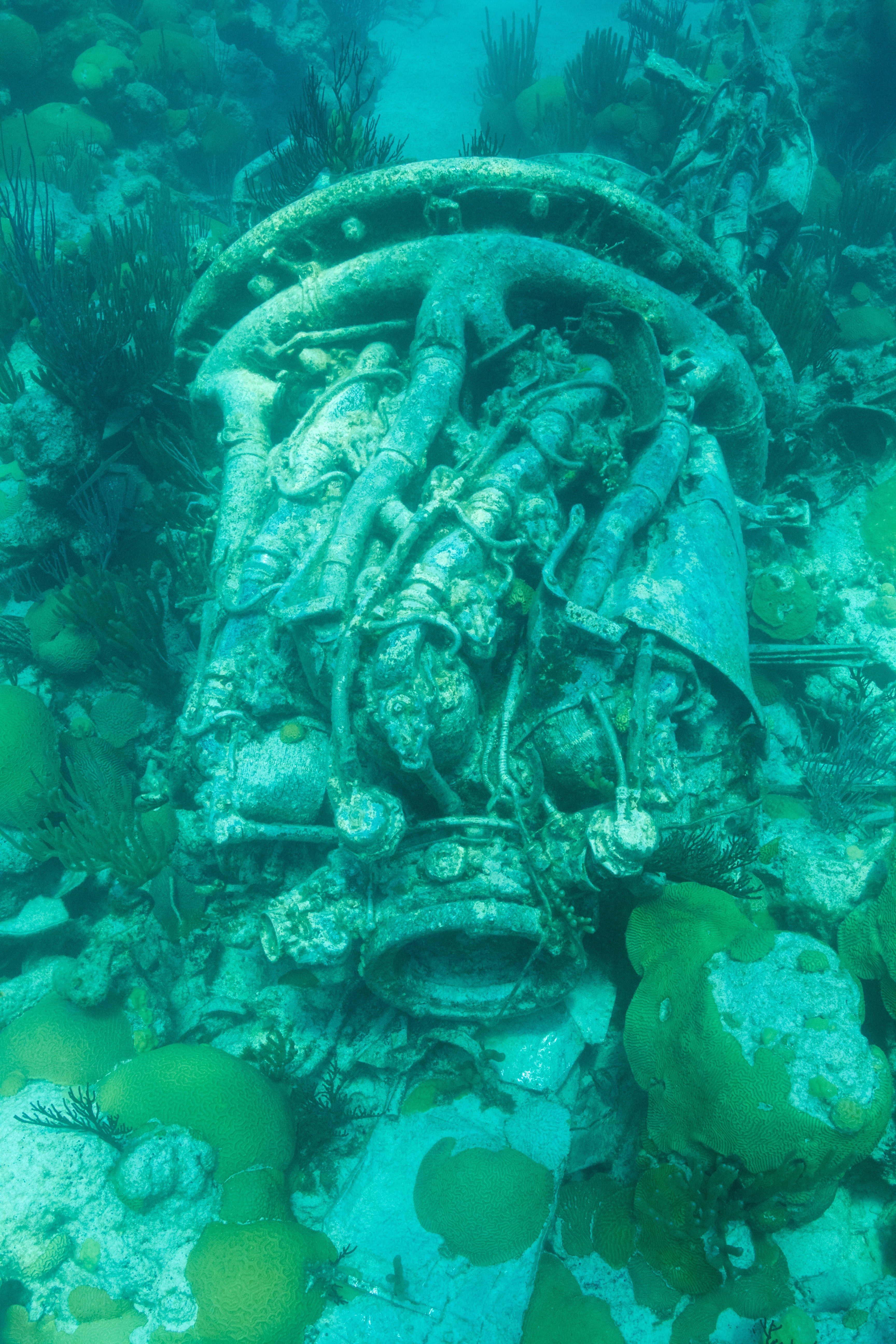
The Airplane wreck is located in up to 25 feet of water, and visibility is good in both summer and winter. The plane broke apart and its parts are strewn across a wide area, so dive guides warn visitors not to expect an intact airplane. Divers typically locate the wreckage by looking for sunlight reflecting off hundreds of square feet of aluminum panels that covered the airplane’s fuselage. Also visible are the plane’s four engines with (badly bent) propellers still attached, wings, and parts of the fuselage. The Airplane site is also notable because very little traditional marine life has grown on the wreckage because the plane’s exterior was made with aluminum. Despite the absence of coral growing on the wreck itself it is nestled incongruously within a rich coral reef and a large number of fish (especially sergeant-majors farming algae) are attracted to the site because of the aluminum and nutrient-rich waters surrounding the craft.
STATISTICS
Location: 32°15'14.59"N, 64°58'36.48"W Visibility: 70 feet in summer, 100+ feet in winter Depth: 21 to 25 feet (6 to 7 meters) Protected Area Radius - No Fishing: 300m